Table of Contents
ToggleImagine a world where you could predict the weather with the accuracy of a seasoned meteorologist—without ever leaving your couch. Thanks to advanced technologies orbiting our planet, this dream is closer than ever. Satellites equipped with cutting-edge sensors are like the ultimate weather spies, gathering crucial data on everything from storm patterns to climate change.
These high-tech marvels don’t just float around aimlessly; they’re on a mission to keep us informed about our ever-changing environment. With the ability to monitor vast areas in real-time, they help scientists make sense of the chaos that is our planet’s atmosphere. So buckle up as we explore the fascinating technologies that collect data for weather, climate, and environmental monitoring from space. Who knew that the best weather reports come from the final frontier?
Satellite Remote Sensing
Satellite remote sensing plays a crucial role in weather, climate, and environmental monitoring. Satellites equipped with specialized technology gather real-time data, enabling scientists to analyze various atmospheric conditions.
Types of Satellites Used
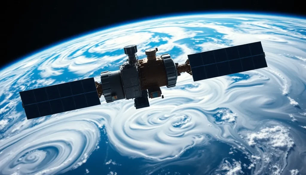
Weather satellites serve distinct purposes. Geostationary satellites orbit the Earth at a fixed position, providing continuous observation of weather patterns. Polar-orbiting satellites travel in north-south orbits, offering detailed images of the entire Earth’s surface. Both satellite types contribute to comprehensive data collection for meteorological analysis.
Sensors and Instruments
Numerous sensors and instruments contribute to satellite data collection. Radiometers measure electromagnetic radiation, providing crucial temperature and moisture readings. Scatterometers assess surface wind patterns, enhancing storm tracking capabilities. Additionally, lidar systems provide precise topographical maps and vegetation analysis, while spectrometers identify atmospheric gases. Each instrument complements the others, creating a robust framework for understanding climate and environmental changes.
Ground-Based Complementary Technologies

Ground-based technologies enhance satellite data by providing localized and real-time observations. These technologies play a crucial role in comprehensive weather and climate monitoring.
Weather Stations
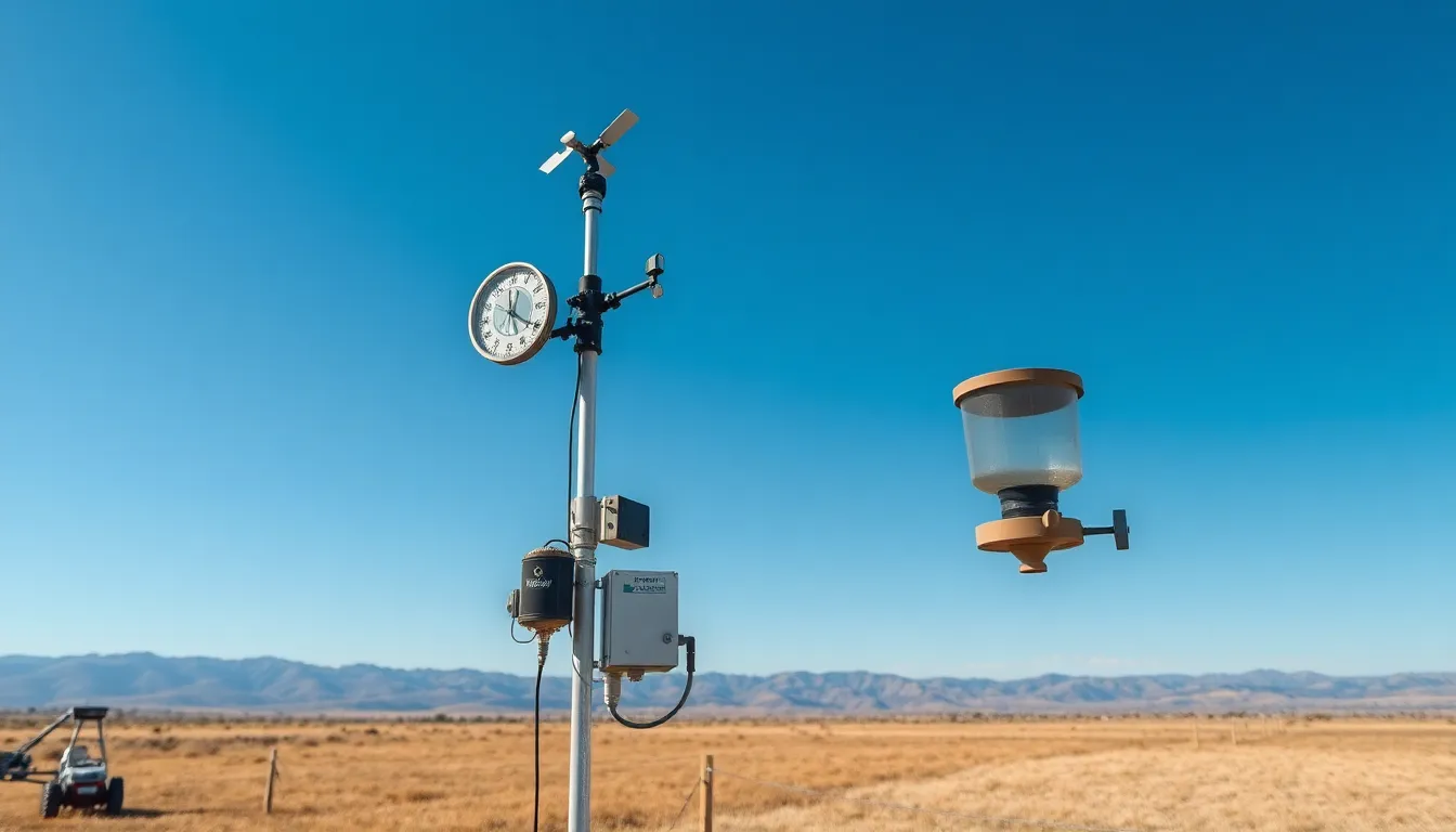
Weather stations consist of various instruments that collect atmospheric data. These stations measure temperature, humidity, wind speed, and precipitation. Data gathered from over 20,000 weather stations across the United States supports forecasts and climate analysis. Accuracy improves when combining this ground-based data with satellite observations. Each station contributes unique insights into local weather patterns, offering critical information for short-term predictions and long-term climate studies.
Radar Systems
Radar systems effectively track precipitation, storms, and wind patterns. Doppler radar, for instance, provides real-time data on storm movements and intensity. Over 100 NEXRAD radar systems operate throughout the United States, delivering crucial insights during severe weather events. These systems enhance safety by predicting tornadoes and severe thunderstorms up to several minutes in advance. By integrating radar data with satellite observations, meteorologists gain a clearer understanding of atmospheric dynamics. This synergy strengthens the overall effectiveness of weather monitoring and forecasting.
Data Collection Methods
Satellites utilize various data collection methods for weather, climate, and environmental monitoring. These methods provide invaluable insights into atmospheric conditions.
Passive Remote Sensing
Passive remote sensing involves the detection of natural energy emitted or reflected from the Earth’s surface. Sensors, such as radiometers, measure solar radiation reflected off Earth, gathering data about temperature and moisture levels. Geostationary satellites, like the GOES series, continuously monitor cloud cover and atmospheric temperature using this method. These satellites play a significant role in tracking weather patterns and changes in climate. Accurate data resulting from passive remote sensing bolsters forecasting models by providing essential context about the Earth’s surface conditions.
Active Remote Sensing
Active remote sensing systems emit their signals to gather information about the environment. These technologies include lidar systems, which use laser pulses to create detailed topographical maps of land surfaces. Scatterometers, another type of active sensor, transmit microwave signals and analyze the returned data to assess wind patterns over oceans. Satellites equipped with synthetic aperture radar (SAR) capture high-resolution images, offering insights into land deformation and disaster response. Active remote sensing enhances situational awareness during extreme weather events, enabling more precise weather monitoring and management.
Applications of Collected Data
Satellites collect vital data that serves multiple applications across various sectors, enhancing our understanding of weather, climate, and the environment.
Weather Prediction
Accurate weather prediction relies heavily on satellite data. Data from geostationary satellites provide continuous monitoring, allowing for real-time updates on storm development. Meteorologists utilize this information to issue timely weather alerts, essential during severe weather events. Polar-orbiting satellites contribute detailed imagery, improving forecasts over different geographical areas. By analyzing wind patterns captured by scatterometers, forecasters enhance the reliability of short-term and long-term predictions.
Climate Research
Climate research benefits significantly from satellite data collection. Scientists study long-term climatic trends using comprehensive datasets gathered from multiple sources. Advanced sensors track atmospheric gases, helping to understand greenhouse gas concentrations over time. High-resolution imagery allows for the assessment of ice caps and sea-level rise, essential for understanding climate change impacts. The integration of satellite observations with ground data enables researchers to model and predict future climate scenarios more effectively.
Environmental Monitoring
Environmental monitoring is vital for assessing Earth’s health. Satellite systems provide crucial insights into deforestation, urbanization, and land-use changes. Remote sensing technologies capture data on vegetation cover and water quality, making it possible to monitor ecological shifts. Scientists deploy this information to support conservation efforts and develop sustainable practices. The continuous monitoring capability of satellites ensures timely responses to environmental threats, such as natural disasters and pollution events.
Challenges in Data Collection
Data collection for weather, climate, and environmental monitoring faces several significant challenges. Addressing these obstacles is vital for improving the accuracy and effectiveness of satellite-based observations.
Data Accuracy
Data accuracy remains a primary concern in satellite monitoring. Satellite sensors occasionally experience calibration issues, impacting reliability. For instance, discrepancies in temperature readings can lead to incorrect weather predictions. The variability in sensor types also creates inconsistencies, as different instruments capture data in distinct ways. Satellite data may become less accurate when atmospheric conditions are unfavorable, such as during cloud cover. Meteorologists must validate this data using ground-based observations to ensure precision.
Technological Limitations
Technological limitations hinder satellite data collection efforts. Some satellites rely on limited bandwidth for data transmission, affecting the speed and volume of information shared. Polar-orbiting satellites, while capable of capturing detailed imagery, operate on a fixed schedule, which can restrict real-time monitoring. Additionally, the lifespan of satellites poses a challenge, as aging instruments may degrade over time and become less effective. Maintenance of satellite constellations requires significant resources, complicating ongoing data collection. These technological constraints impact the overall reliability of weather forecasts and environmental assessments.
The integration of satellite technology into weather, climate, and environmental monitoring has transformed how data is collected and analyzed. With advanced sensors and various remote sensing methods, satellites provide critical insights into atmospheric conditions and climate trends. These technologies not only enhance weather forecasting but also support vital environmental assessments.
As challenges persist in data accuracy and technological limitations, the collaboration between satellite and ground-based systems remains essential. This synergy ensures a more comprehensive understanding of our planet’s dynamics. Ultimately, the ongoing advancements in satellite technology will continue to play a pivotal role in addressing the pressing issues of climate change and environmental degradation.


